
Kinetic Analysis Corporation provides clients with the current view of potential losses and hazards from tropical cyclones occurring anywhere in the world. The modeled hazards include tropical cyclone generated winds, waves, storm surge and rainfall, as well as the associated potential aggregated economic impacts and affected populations.
HAZARD DATA
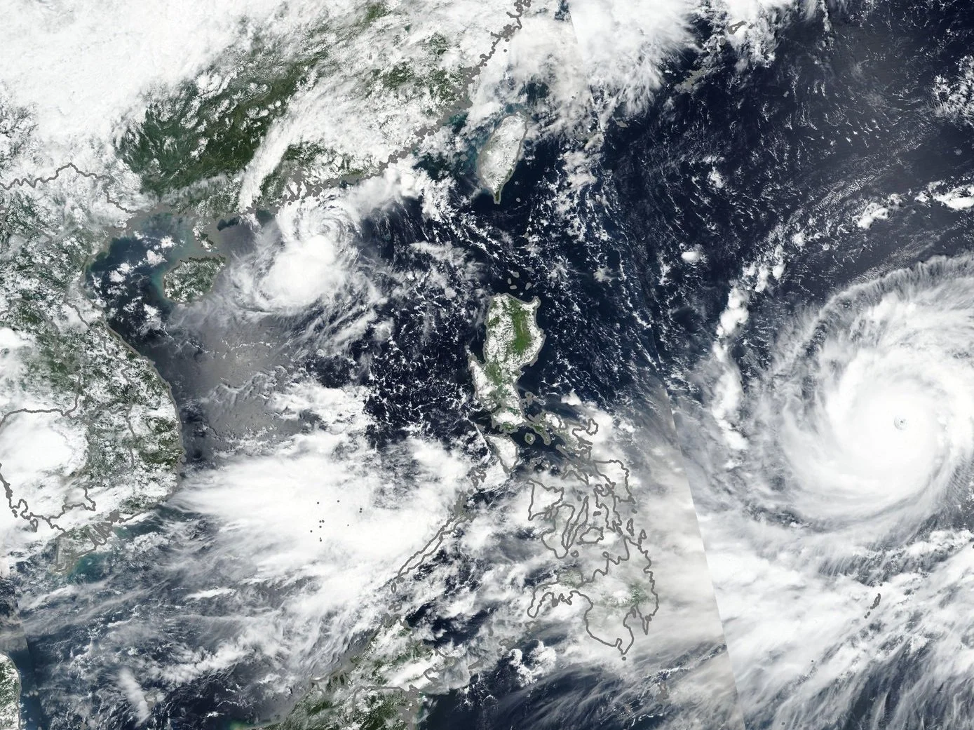
Kinetic Analysis Corporation offers near real-time estimates of the spatial distributions of wind, wave, storm surge and precipitation intensities from tropical cyclones. We track all active tropical cyclones worldwide, drawing on a broad array of real-time weather data to drive in-house, advanced numerical modeling that computes the spatial distribution of maximum wind speed, wave heights, storm surge inundation and cumulative rainfall consistent with a storm’s past and forecast track. Hazard footprints are based on the forecast and observed storm track, intensity and wind radii provided by the designated RSMCs for a given region (e.g., the National Hurricane Center for the Atlantic and eastern North Pacific basin), by the JTWC for other regions of the world, and by model guidance (e.g., from the GFS, UKMet Office, HWRF or the CMC). Real-time data are provided at a 60 arc second resolution and a post-event summary is provided with a 30 arc second resolution.
ESTIMATES OF ECONOMIC IMPACTS
ESTIMATES OF AFFECTED POPULATIONS
Kinetic Analysis Corporation provides estimates of aggregated economic impacts at Admin Levels 0, 1, and 2 (e.g., national, state, and county levels for the United States).
Kinetic Analysis Corporation provided estimates of the population exposed to storm surge, tropical storm force winds, and hurricane force winds aggregated to Admin Levels 0, 1, and 2 (equivalent to national, state, and county levels in the United States).
DATA DELIVERY
Real-time data are delivered through web services or client-specific means of access.